Independent Reserve Valuations for Aggregate, Sand & Gravel Operations
Aggregate Consulting provides independent reserve valuations for lenders, investors, acquisition groups, owners, and operators who need to know — with confidence — how much salable material is actually in the ground, what it’s worth, and whether the operation in front of them can deliver it. Our work pairs decades of operator experience with independent geologic and geophysical interpretation, and it supports lending decisions, transaction due diligence, greenfield deposit identification, balance-sheet footnoting, and — where reserves are contested — royalty disputes and litigation.
Every reserve we value is reviewed from the operator’s seat. A reserve number means nothing unless the plant, the mining plan, the market radius, and the cost structure can support it. We’ve seen acquisitions priced off claimed tonnages that the existing plant could not have produced if the entire deposit were perfect. We’ve seen lender-financed projects sized for reserves that turned out to be heavily overburden once cores went down. The discipline of this work is connecting the geology to the iron and the iron to the market.
Greenfield Deposit Identification and Evaluation
A growing share of our work is greenfield — identifying and evaluating undeveloped properties that may host commercial aggregate, sand, gravel, or limestone deposits. For acquisition groups, family operators looking to expand, and investors positioning ahead of a market, the question isn’t just what’s in the ground at a given site — it’s where to look, what’s likely there, and whether it’s worth the next step. We screen candidate properties using regional and surficial geology, prior drilling or testing data, surface and access conditions, and market-radius analysis, narrowing a long list down to the prospects worth a field visit, an option, or an offer. Once a property advances, the same workflow we use for operating-asset reserve valuation applies — geologic interpretation, in-place tonnage estimation, mining plan, market study, and DCF.
What a Reserve Valuation Includes
A typical engagement starts with a review of existing core logs, sieve data, and survey work. Where additional subsurface confirmation is needed, we scope and oversee a supplemental drilling and sampling program — GPS-locating drill points, specifying sampling intervals, and coordinating with qualified drilling contractors. Where subsurface conditions warrant, our consulting geologist and geophysicist supports the work with geologic interpretation and geophysical methods, including seismic interpretation. From there we build:
- Stratigraphic classification by horizon, with overburden, waste, and salable material identified separately
- In-place tonnage by stratum, with defensible recovery and shrink factors applied
- Sieve analysis, sand equivalent, and fineness modulus data used to confirm product mix and pricing tier
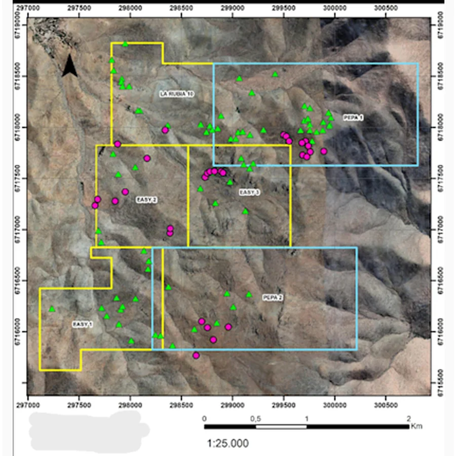
- GIS-based mapping and 3D reserve modeling, including cross sections and depth-based volumetric calculations
- A mining plan with sequencing, advance rates, and reclamation considerations
- A market radius study with current delivered pricing for the saleable products
- A cost stack — drilling, stripping, mining, processing, hauling, royalty, reclamation, G&A — built from comparable operating data, not catalog numbers
- Discounted cash flow with sensitivity on pricing, throughput, and discount rate
What You Receive
A written reserve report with GIS-based maps, cross sections, tonnage tables, the cash-flow model, and a clearly stated opinion of value. The report is built to stand up under lender review, auditor scrutiny, or — if it has to — cross-examination. Our valuation work has been used in transactions, royalty disputes, and litigation matters where the number had to hold.
Why an Operator’s Perspective Matters
John M. Pitts, Jr. has spent 36 years owning, designing, building, and operating sand, gravel, crushed stone, and dredge-based operations across the country. That experience is what lets us look at a deposit and tell you not just what’s in the ground, but whether anyone can actually mine it, process it, and sell it at the price the model assumes. If the number ever has to be defended, we can defend it. (See Expert Witness & Litigation Support.)
Geologic and Geophysical Support — David Hale
Aggregate Consulting’s reserve work is supported by David Hale, Consulting Geologist and Geophysicist, based in Wichita Falls, Texas. David brings geology, geophysics, seismic interpretation, and subsurface evaluation experience to the firm’s reserve and prospect work. On reserve valuations and greenfield prospect work, his role typically includes independent geologic review, subsurface interpretation for deposit continuity and geometry, and — where the data warrants — geophysical investigation to supplement or refine the drilling program. Pairing a geologist’s read with an operator’s read produces a reserve number that holds up under technical scrutiny from lenders, auditors, and opposing experts. (See Geology Services for the full scope of David’s work.)
Sample Report
A redacted sample of our reserve quantity estimate is available below.
Download Sample Reserve Quantity & Valuation Report (PDF)
Request a Confidential Reserve Evaluation
Call 940-341-2011 or contact us to discuss a confidential reserve evaluation for an operation you own, are acquiring, or are financing.
Related services: Geology Services · Deposit Acquisition Consulting · Due Diligence · Royalty & Lease Advisory · Expert Witness & Litigation Support